Geospatial images: Maps and earth observation imagery
MapReader was developed for maps and geospatial images.
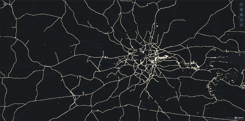
Classification of one-inch OS maps
We have provided two examples of how to use MapReader to identify railspace patches in one-inch OS maps. Both examples demonstrate how to use MapReader with maps hosted on a tileserver.
Our examples show a full end-to-end use of the MapReader pipeline, including downloading, loading and patchifying map images, annotating patches to create training data, training a model and using the model to classify patches.
The classification_one_inch_maps example demonstrates how to use MapReader to classify patches using a standard patch-level classification model in which patches are used as inputs to the model.
It can be found here.
The context_classification_one_inch_maps example demonstrates how to use MapReader to classify patches using a context-level classification model in which patches and their surrounding patches (i.e. context) are used as inputs to the model.
It can be found here.
Annotation examples
Alongside the classification examples, we have provided two worked examples of how to use our annotator.
The how-to-annotate-patches example demonstrates how to use the annotator to create training data for patch classification using OS one-inch maps. It can be found here.
The how-to-annotate-model-predictions example shows how the annotator could also be used to evaluate the predictions from a classification model. It can be found here.
Note
The “predictions” in the second example are random values used for demonstration purposes. In reality, instead of loading in patch_df.csv, you would load a predictions_patch_df.csv generated by MapReader after inference to annotate model predictions.
Workshop notebooks
In the worked examples directory, we also have a number of notebooks that were used in our workshops. These are not updated to align with the most recent version of MapReader, but instead they are dated and contain information about the MapReader version used at the time of the workshop.
If you want to run one of these you will need to install the version of MapReader that was used at the time of the workshop.