Non-geospatial images
While MapReader was developed for maps and geospatial images, the package can also be used for non-geospatial images. We have provided two examples of this.
Classification of plant phenotypes
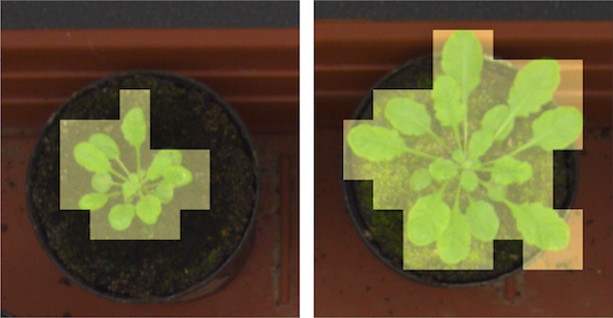
In our classification_plant_phenotype example, we demonstrate how to use MapReader to classify plant phenotypes in images of plants.
Importantly, this worked example demonstrates how to use MapReader with non-georeferenced images (e.g. non-georeferenced map images).
It can be found here.
Classification of MNIST digits
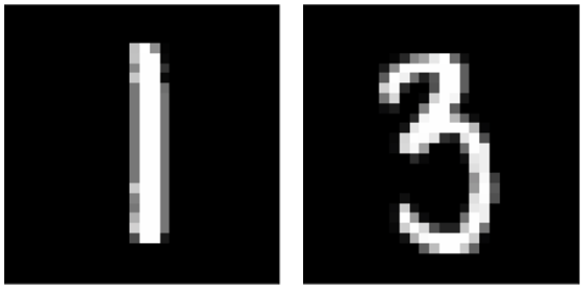
In our classification_mnist example, we demonstrate how to use MapReader to classify MNIST digits.
Importantly, this example demonstrates how to use MapReader to classify whole images instead of patches and therefore how MapReader can generalize to much broader use cases.
It can be found here.